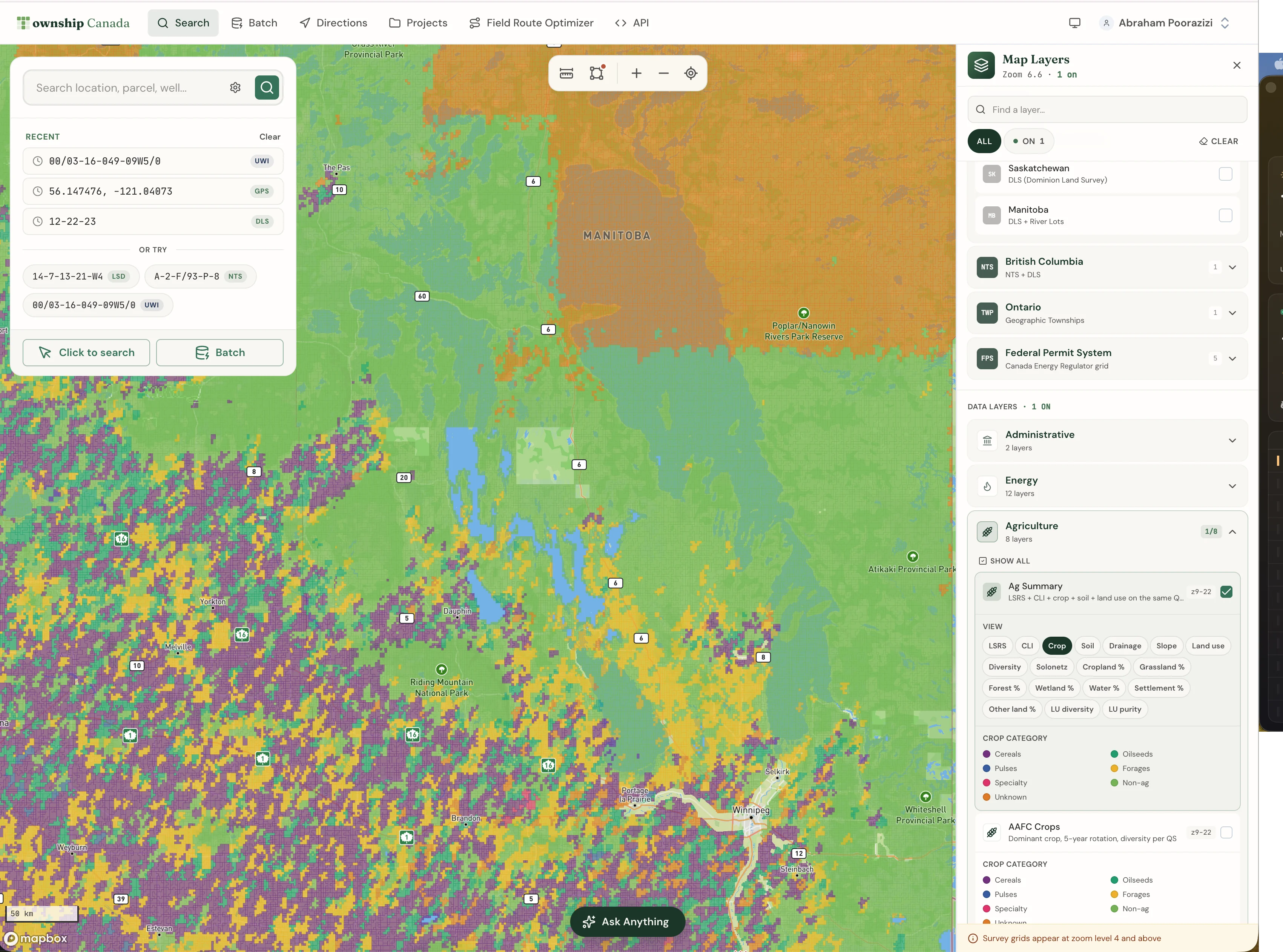
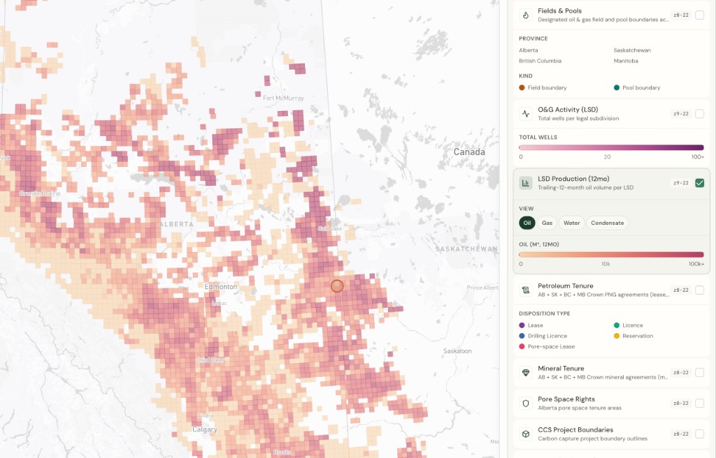
British Columbia
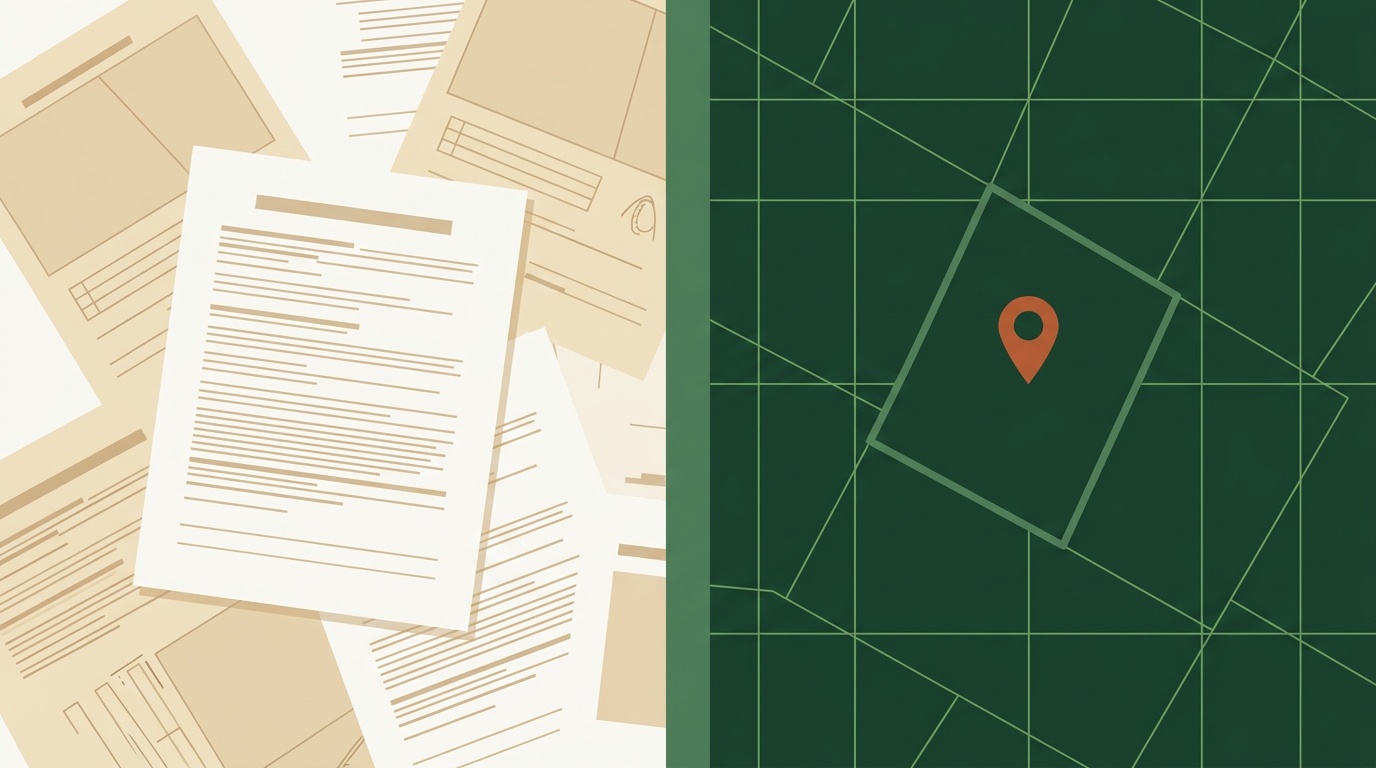
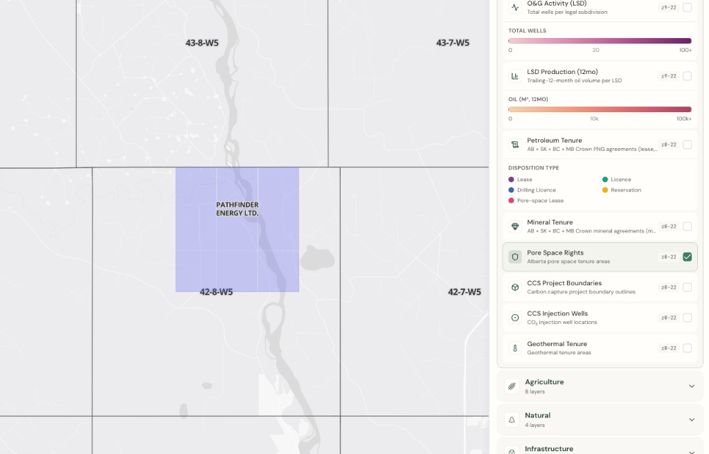
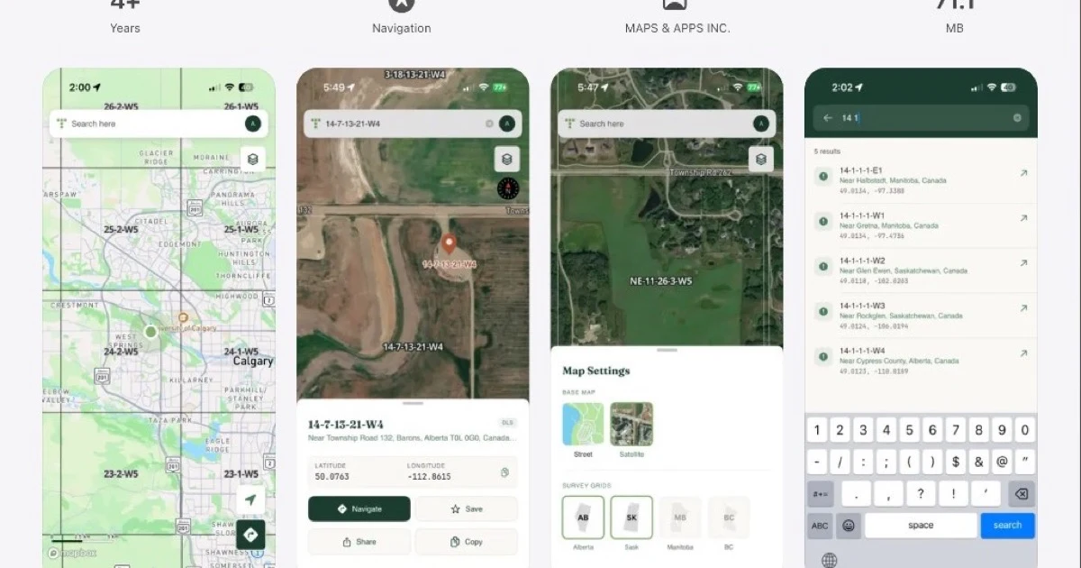
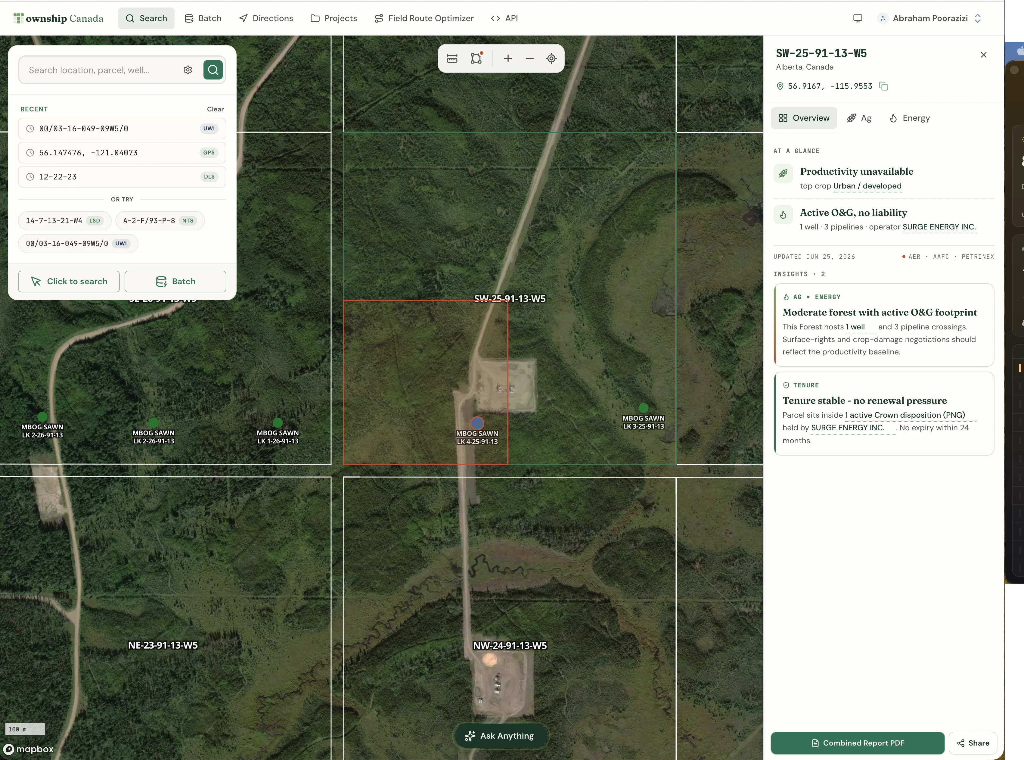
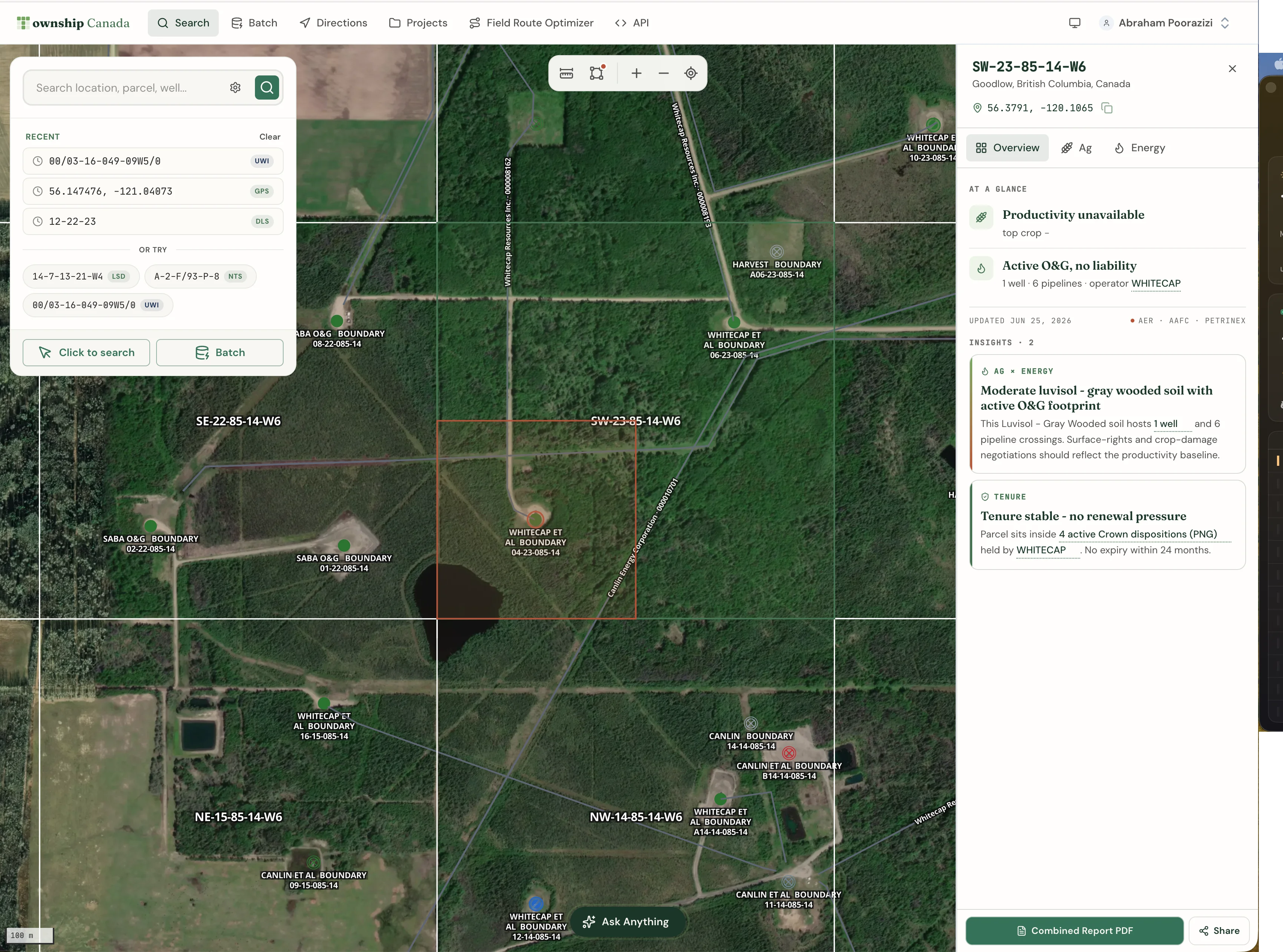
BC NTS to ParcelMap: How to Get Parcel Boundaries from a Grid Reference in One Step
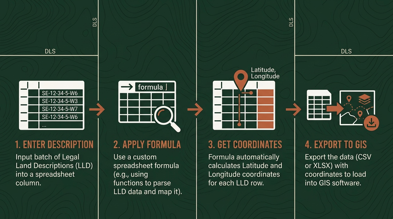
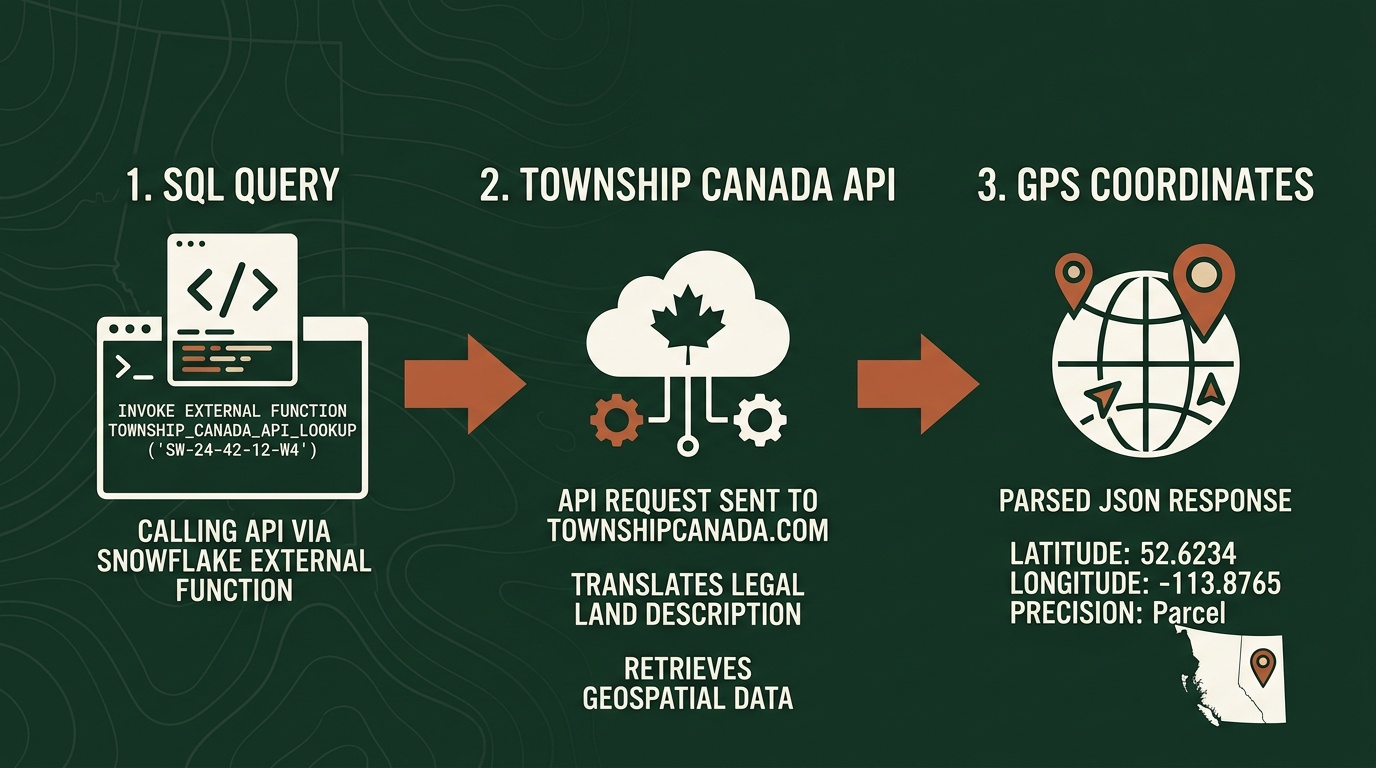
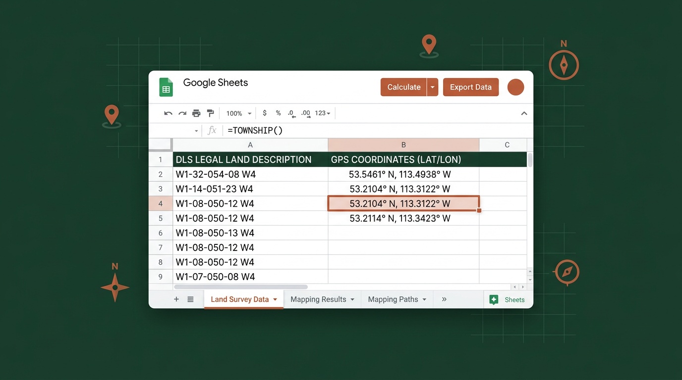
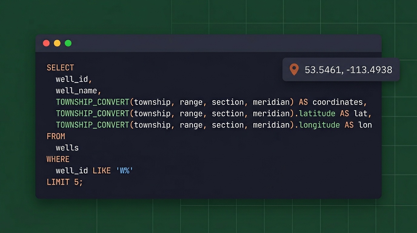
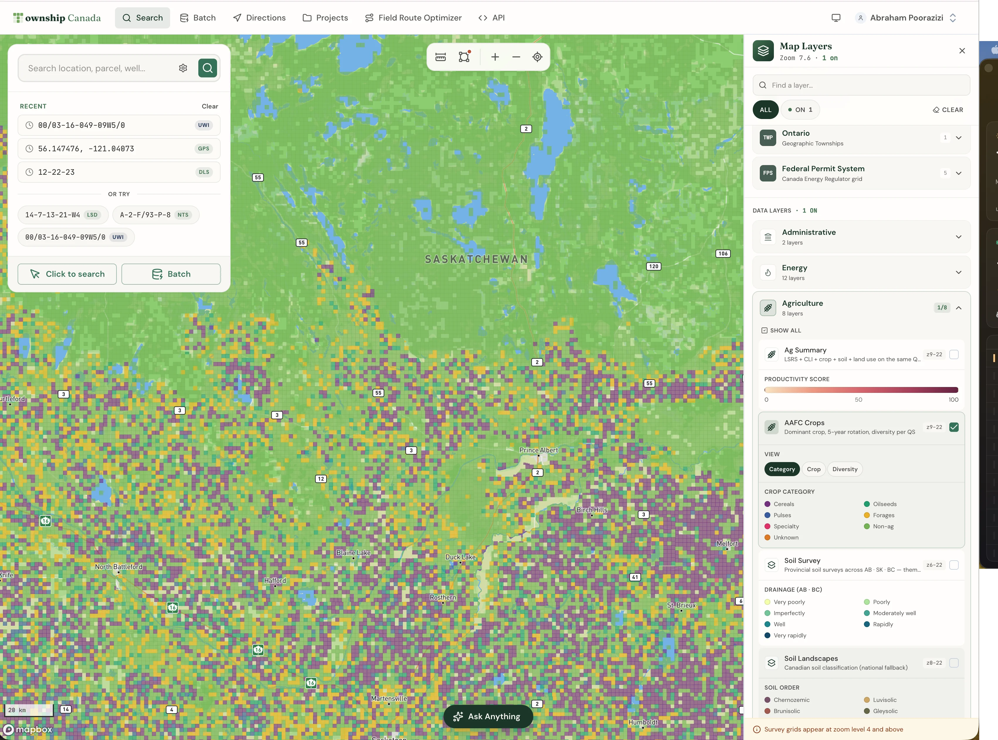
Enter an NTS grid reference in Township Canada and get registered ParcelMap BC parcel boundaries back: PID, plan number, area, centroid, and full boundary polygon.
Read article

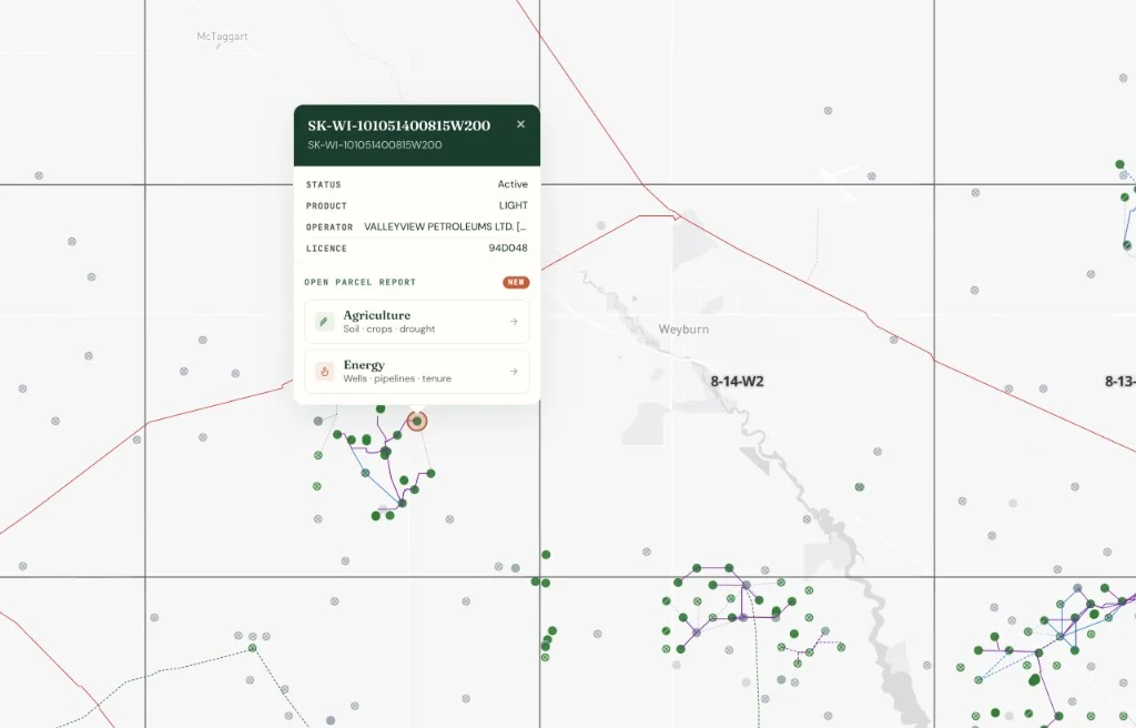
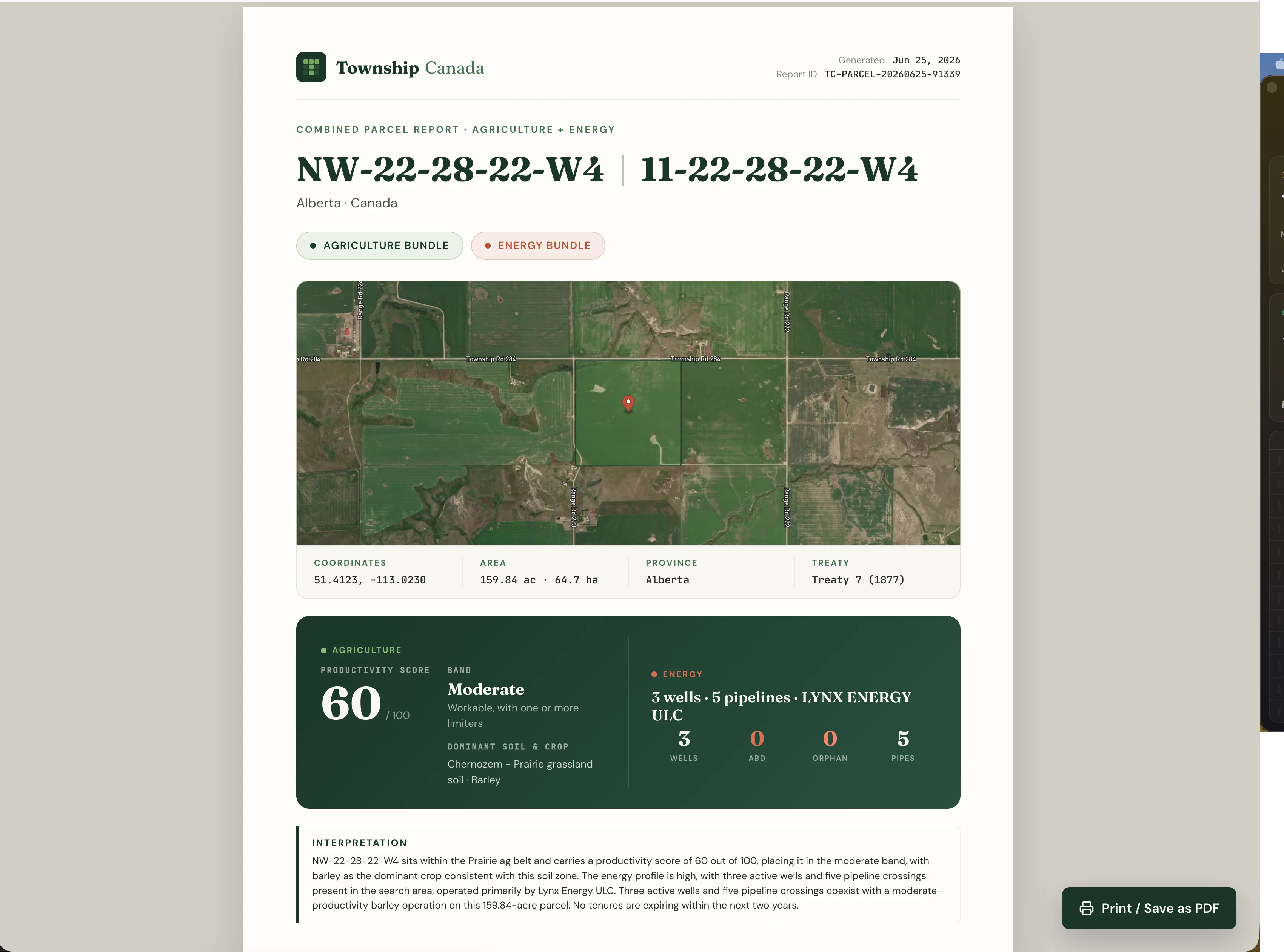


![Launching `/app/parcel/[lld]` - A One-Click Report for Any Canadian Quarter Section](/_vercel/image?url=%2Fimages%2Fblog%2Flaunching-parcel-report%2Fcover.webp&w=1536&q=100)