By Township Canada
BC NTS to ParcelMap: How to Get Parcel Boundaries from a Grid Reference in One Step
Enter an NTS grid reference in Township Canada and get registered ParcelMap BC parcel boundaries back: PID, plan number, area, centroid, and full boundary polygon.
An environmental consultant in Prince George receives a project brief for an impact assessment. The study area is described as NTS grid cell 092O03, a map sheet reference covering roughly 900 square kilometres in the BC Interior. The brief asks for a list of fee simple parcels within the study area, their registered boundaries, and owner types.
The consultant opens Natural Resources Canada's map viewer to locate the NTS sheet, then switches to the LTSA's ParcelMap BC portal to find parcels, then manually cross-references the two views to figure out which parcels fall inside the grid cell. Two portals, two coordinate systems, and no clean way to bridge them. The NTS reference says where the study area is. The LTSA portal says where the property lines are. Getting both answers in the same view has always meant doing the translation by hand.
Township Canada's NTS parcel lookup removes that step. Enter an NTS grid reference, and it resolves the reference to the registered ParcelMap BC parcel boundaries that fall within it: PID, plan number, area, centroid coordinates, and full boundary polygon. One search, one result set.
How the NTS parcel lookup works
The lookup bridges two datasets that have never spoken the same language. On one side, the NTS grid: a federal topographic map-sheet hierarchy that organizes BC into nested series, areas, sheets, blocks, and units. On the other, ParcelMap BC: the Land Title and Survey Authority's official registry of titled parcel boundaries across the province.
When you enter an NTS reference into the BC NTS converter, Township Canada first resolves the reference to its geographic extent, then runs a spatial query against the ParcelMap BC database to find every registered parcel that intersects that extent.
What comes back for each parcel:
- PID (Parcel Identifier): the nine-digit number registered with the BC Land Title Office
- Plan number: the survey plan under which the parcel was registered
- Area: the parcel size in hectares
- Centroid: GPS coordinates for the centre of the parcel
- Boundary polygon: the full registered boundary as a geometry you can view on the map or export
The results render on the map alongside the NTS grid overlay and satellite imagery. You can see the NTS sheet boundary, the individual parcel polygons inside it, and the relationship between the two without switching tools.
Walkthrough: 092O03 in the BC Interior
Take map sheet 092O03, which covers an area west of Kamloops in the BC Interior. A Crown land planner working on a referral needs to identify all titled parcels within the sheet for a land status assessment.
Step 1. Open the BC NTS converter and enter 092O03.
Step 2. The map zooms to the sheet boundary. Toggle on the ParcelMap BC layer from the layers panel.
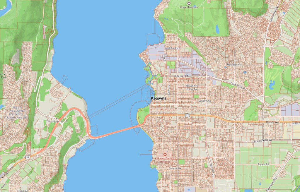
Step 3. The registered parcel boundaries appear inside the NTS sheet. Each parcel polygon is clickable: select one to see its PID, plan number, area, centroid, and owner type.
Step 4. For a more detailed view, drill down to a specific block within the sheet. Enter 092O03-A to narrow the view to block A, and the parcel boundaries re-render at the block level. The spatial query returns only parcels that intersect block A, filtering out the rest of the sheet.
The same workflow applies at every NTS precision level. A sheet-level reference returns all parcels within the sheet. A block-level reference narrows the set. A unit or quarter-unit reference narrows it further. The finer the NTS reference, the tighter the parcel set.
Environmental assessment: fee simple land within an NTS study area
Environmental consultants in BC work with NTS references constantly. A baseline study for a proposed mine site, a pipeline corridor assessment, or a forestry stewardship plan all start with an NTS-described area and require a catalogue of land ownership within it.
The standard workflow before Township Canada's parcel lookup: export the NTS boundary from one tool, import it into a GIS, load the ParcelMap BC shapefile (a 2+ GB download from the LTSA), run a spatial intersection, and clean up the results. That is a full morning for a GIS analyst, and it assumes the team has the software licences and the bandwidth to download the provincial parcel dataset.
With the NTS parcel lookup, the same question takes one search. Enter the NTS reference, see the parcels. Filter by owner type (Crown, fee simple, municipal) if the assessment only requires private land. Export the result set for the report.
For an environmental consultant preparing a referral package for the BC Environmental Assessment Office, the parcel data feeds directly into the landowner notification list. Knowing which PIDs fall within the study area is the first step in identifying who needs to be consulted. Getting that list from a single NTS search, instead of a GIS intersection workflow, saves hours on every project.
For more on how legal land descriptions apply in environmental work, see the environmental consulting industry guide.
Mineral exploration: surface parcels before a claim application
A geologist preparing a Mineral Exploration Program application in the Cariboo region needs to know what registered surface parcels sit beneath their target NTS units. BC's MineralTitles Online system identifies mineral claims by NTS reference, but it does not show the surface parcel boundaries that determine landowner notification requirements and access logistics.
Enter the NTS unit reference into the BC NTS converter, and the parcel lookup returns every registered surface parcel within that unit. The geologist can see whether the claim overlaps fee simple land (requiring landowner notice), Crown land (requiring a different permit path), or municipal land (requiring yet another process). That distinction drives the entire permitting timeline.
For a team evaluating multiple claim cells across a map sheet, the workflow scales: search each NTS reference, review the parcel results, and build the access and notification plan from the parcel data. No separate GIS step required.
For background on how NTS fits into BC mining workflows, see the mining industry guide.
Export options: GeoJSON, KML, CSV, and more
The parcel data from an NTS lookup is only useful if it moves into the rest of your workflow. Township Canada exports results in six formats:
- GeoJSON for ArcGIS Pro, QGIS, and any GIS tool that reads open-standard geometry. Import the parcel boundaries directly as a feature layer with PID, area, and plan number as attributes.
- KML for Google Earth and field navigation devices. Useful for sharing parcel boundaries with field crews who need a visual reference without loading a full GIS project.
- CSV for spreadsheet-based workflows. The CSV includes PID, plan number, area, centroid coordinates, and owner type, ready for a land status summary or an LTSA title search list.
- Shapefile for legacy GIS environments and regulatory submissions that require the ESRI format.
- DXF for CAD software used in survey and engineering work.
- PDF for formatted reports that include the map view, parcel list, and coordinates in a single document.
CSV and KML exports are available on all plans. PDF export requires Pro or higher. GeoJSON, Shapefile, and DXF exports require Business. See the pricing page for details.
One step where there used to be five
BC professionals have always had to translate between two reference systems that describe the same land differently. The NTS grid tells you where you are on the federal topographic map. ParcelMap BC tells you where the property lines are on the provincial land title registry. Getting both answers used to require two portals, two datasets, and a GIS analyst to stitch them together.
Township Canada's NTS parcel lookup puts both answers in one search. Enter an NTS reference, get the registered parcel boundaries back. Whether you are building an environmental assessment, preparing a mineral claim application, or planning a forestry operation, the parcel data is one step from the grid reference you already hold.
Try it with 092O03 on the BC NTS converter, or with any NTS reference in your current project.