By Township Canada
Carbon Sequestration Tenure in Alberta - Mapping CCS Lease Blocks Before the AER June 30 Deadline
Alberta's AER CCS tenure evaluation window closes June 30, 2026. How energy consultants map carbon sequestration lease blocks using DLS legal land descriptions for regulatory submissions.
The AER's carbon capture and storage tenure evaluation window closes June 30, 2026. For energy consultants and land technicians preparing CCS tenure applications, that deadline is the forcing function for a task that's technically specific but operationally demanding: translating a geological formation boundary into precise DLS legal land descriptions that will appear in a regulatory submission.
A subsurface CO₂ storage target doesn't come with GPS coordinates attached. It comes as a reservoir model - a mapped geological extent typically spanning dozens of DLS sections across one or more townships. Before any of that becomes an AER filing, someone has to define the pore space tenure area using the Dominion Land Survey grid, confirm each DLS description resolves to the correct location, and produce a map the regulator can verify.
For teams working against the June 30 deadline, the mapping and verification step is where schedules get compressed.
Two Kinds of Land in a CCS Tenure Application
CCS tenure applications in Alberta cover two distinct land components, each requiring different types of legal land descriptions.
Surface tenure covers the physical footprint - injection wellheads, monitoring wells, compressor stations, access roads, and pipelines. Each wellhead is described at the LSD level: a 40-acre parcel within the DLS grid. A pipeline corridor records the quarter sections it crosses in sequence. This part of the application follows the same format as a conventional oil and gas well license.
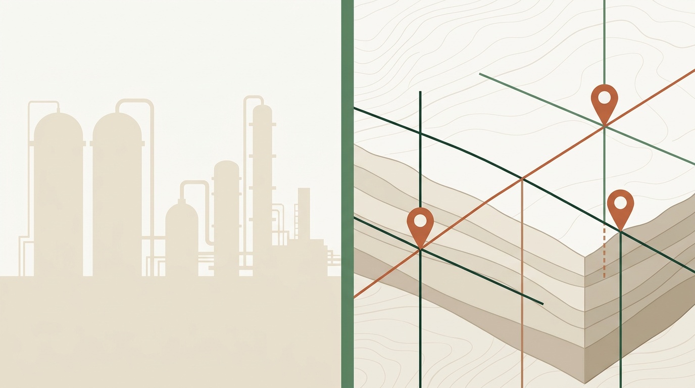
Subsurface pore space tenure is the element unique to CCS work. Under Alberta's Carbon Sequestration Tenure Regulations, an applicant must define the underground geological formation where CO₂ will be stored - described by its DLS extent at the section or township level. A modeled CO₂ plume in a deep saline aquifer might cover 10 to 20 DLS sections across two or three townships, well beyond the surface footprint of the injection wells above.
A proposed deep saline aquifer storage project in the Fort Saskatchewan–Heartland area of Alberta, for example, might describe a pore space tenure block spanning 14 sections across Township 55 to Township 56, Range 19–20, West of the 4th Meridian. The primary injection well would be at a specific LSD - say SE-22-55-20-W4 - with pressure monitoring wells at neighboring parcels within the same formation extent. Each DLS reference must resolve correctly - both on the AER submission map and in the project's GIS model - before the application package is complete.
Where Legal Land Description Errors Appear
The most common error in CCS lease block mapping is a meridian transposition. West of the 4th Meridian (W4) and West of the 5th Meridian (W5) run roughly 250 kilometres apart. SE-22-55-20-W5 is not the Fort Saskatchewan–Heartland area - it places the location in west-central Alberta, near the Drayton Valley region. For a pore space tenure application, that error puts the entire geological formation in the wrong part of the basin, and the AER will flag it immediately.
Township and section transpositions are subtler. A project team working from a hand-drawn cross-section might list Section 22 when the correct section is Section 32 - one digit off. The GPS points land six miles from where they should be. On a small-scale printed map, that error may not be obvious until someone zooms into satellite imagery and sees the location doesn't match the visible surface geology or the industrial emitter the project is capturing from.
With 20 to 40 DLS descriptions in a typical CCS tenure package - mixing sections, quarter sections, and LSDs across surface and subsurface tenure types - manual verification of each one is time-consuming and error-prone.
The Practical Workflow for Mapping CCS Lease Blocks
Most energy consultants assembling a carbon sequestration lease block package work from a combination of geological maps, a reservoir model, and surface rights information from Alberta Land Titles. The DLS descriptions are assembled into a spreadsheet before the AER filing is prepared.
The mapping workflow that handles this efficiently:
- Build the DLS list - Extract section and quarter section references from the geological model boundaries and surface rights data. Format them consistently: the AER requires standard DLS notation, and the pore space section descriptions must match the formation boundaries in the geological assessment.
- Batch-convert to GPS - Upload the full list to a batch converter. Each DLS description returns GPS coordinates and a boundary polygon. For a 30-section pore space tenure block plus 8 surface parcels, the conversion takes seconds. See the batch conversion guide for CSV upload format details.
- Validate against satellite imagery - Plot the GPS coordinates on satellite imagery and confirm each point lands in the correct geological region. A meridian error or transposed section number shows up immediately when a point appears 200 km from the rest of the cluster.
- Export for AER submission - Download results as KML for the project boundary exhibit or as GeoJSON for internal GIS review. AER map submissions require a location exhibit - the KML export generates the file directly.
- File before June 30 - The AER's CCS tenure evaluation window doesn't carry extensions. Applications received after June 30, 2026 wait for the next intake round.

The interactive map at Township Canada shows DLS section boundaries overlaid on satellite imagery, which is useful for a desktop verification pass before the formal batch run. Section boundaries on a satellite base let you cross-check a modeled plume extent against the visible landscape before committing to the submission coordinates.
How CCS Tenure Differs from Conventional O&G Applications
The volume of legal land descriptions in a carbon sequestration lease block application is higher than a conventional well license. A single producing well requires one LSD for the wellhead and a handful of quarter sections for the surface lease and pipeline. A CCS tenure application layers subsurface section descriptions across the pore space block on top of the surface parcel list - routinely 3 to 5 times the number of entries in a comparable conventional filing.
The AER well closure workflow uses similar DLS notation, but the driving constraint is the existing license database. In CCS tenure work, the geological model sets the boundaries - a set of subsurface formation extents that has to be translated into the DLS grid before any regulatory filing can proceed.
For teams managing CCS and conventional O&G applications in parallel, the Alberta legal land description converter handles both formats in the same interface. The DLS system guide covers the township and section numbering conventions that apply to both workflows.
For a full breakdown of all three CCS tenure types - pore space tenure, injection well licenses, and surface rights - and how legal land descriptions appear in each, see the carbon sequestration industry guide.
Once you have the lease block mapped, the next step is identifying which specific quarter sections fall within each licensed pore space tenure zone boundary and preparing the GeoJSON for AER submission. See AER CCS Pore Space Tenure: How to Identify Quarter Sections in Licensed Tenure Zones for the quarter-section verification workflow and location data checklist.
Getting the Application Ready Before the Deadline
The mechanics of carbon sequestration lease block mapping are tractable. The bottleneck is verification - confirming that each DLS description in the tenure package resolves to the right location before the application goes to the AER.
If your team is working on a CCS tenure evaluation package for the June 30 deadline, the Alberta legal land description converter handles individual LSD and quarter section lookups. For the full pore space section list and surface parcel package together, the Business plan batch converter processes the complete list in a single upload and exports in the formats AER map submissions require - KML, Shapefile, and GeoJSON. See pricing for team access options that work across a multi-consultant project team.