By Township Canada
Surface Lease Legal Land Descriptions: What Alberta Landmen Need to Know Before AER Filings
AER surface lease filings require precise legal land descriptions. Learn what gets applications rejected and how to verify your LSD references before submitting.
The AER application comes back with a location discrepancy. The operator has a signed Surface Lease Agreement for LSD 06-32-048-07W5, but the IAR submission lists it as LSD 07-32-048-07W5. Different 40-acre parcel, different landowner. The agreement is void, and the entire negotiation starts over.
This is the kind of error that doesn't feel possible until it happens on your file. Surface lease legal land descriptions sit at the junction of property law, regulatory compliance, and field operations. A one-number difference in an LSD reference isn't a typo the AER will overlook - it's a filing error that stops the project.
What a Surface Lease Legal Land Description Identifies
A surface lease in Alberta gives an energy company the right to occupy and use a defined parcel of land - a well site, pipeline corridor, compressor station, or battery facility. The legal land description in the agreement is the geographic reference that everything else depends on. It defines which landowner has rights, what obligations the operator has under the Surface Rights Act, and what the AER's regulatory record will show for that facility.
Alberta surface leases use the Dominion Land Survey (DLS) system. A full surface lease legal land description identifies:
- LSD: Legal Subdivision, numbered 1–16 within each section - a ~40-acre parcel
- Section: 1–36 within a township
- Township: numbered sequentially north from the US border
- Range: numbered east from the relevant meridian
- Meridian: W4 (eastern Alberta), W5 (central and west-central Alberta), or W6 (western Alberta near the BC border)
LSD 14-27-048-05W5 reads as: Legal Subdivision 14, Section 27, Township 48, Range 5, West of the 5th Meridian - a specific 40-acre parcel near Drayton Valley. That description is the legal address of the surface rights agreement. No other parcel shares it.
For projects involving a larger footprint - a battery facility spanning multiple LSDs, or a pipeline right-of-way through several sections - the surface lease legal land description lists each affected parcel separately. Each one needs to be correct.
For a full breakdown of how the DLS grid is structured, see the Dominion Land Survey system guide.
What the AER Validates
Surface lease applications submitted through the AER's Integrated Application Registry are cross-checked against the AER's spatial database. The AER validates that the legal land description in your submission corresponds to an actual DLS parcel and that it matches the location information in related applications - particularly the associated well licence.
Applications get held or rejected when the surface lease legal land description:
- Doesn't match a valid DLS parcel in the AER's database
- Conflicts with the surface location on the concurrent well licence
- References a section or LSD that doesn't exist in that township-range combination
- Doesn't align with the location described in the executed Surface Lease Agreement
That third scenario is more common than expected. Not every section number is valid in every township - sections at range edges and near the US border follow different patterns. A section-range combination that looks right on paper may not exist in the DLS grid.
For context on how well licence legal land descriptions work in the same AER ecosystem, the post on Alberta well licence legal land descriptions covers the UWI format and how surface locations are encoded there.
Where Errors Enter the Process
A surface lease legal land description typically passes through several hands between the geoscience team identifying the well location and the regulatory coordinator submitting the IAR application. Field geologists, land negotiators, administrative staff, and regulatory specialists each touch the file. Every handoff is an opportunity for transcription errors.
Transposed LSD numbers are the most frequent problem. LSD 06 and LSD 07 look nearly identical in a document stack. LSD 09 and LSD 06 are easy to reverse when you're copying from a handwritten note. The numbering pattern within a section runs in a boustrophedon (back-and-forth) sequence starting from the southeast corner - so numerically adjacent LSDs aren't necessarily physically adjacent on the ground, and non-adjacent LSDs can be right next to each other. For a detailed explanation of how LSDs are numbered within a section, see what LSD stands for in land descriptions.
Meridian errors are less frequent but more consequential. LSD 14-27-048-05W4 and LSD 14-27-048-05W5 differ by a single character - W4 versus W5 - but describe parcels more than 250 kilometres apart. W4 puts you near Camrose, W5 puts you near Drayton Valley. If the well licence was filed with W5 and the surface lease with W4, the AER's cross-validation will flag the mismatch before the application clears first review.
Re-keyed historical data introduces a different category of error. A surface lease originally executed in 1992 may use older notation conventions, and when that location gets re-entered into a modern IAR submission, the numbers can shift. Reviewing the original document against the digital submission before filing catches these discrepancies.
Verifying Before the Filing Goes In
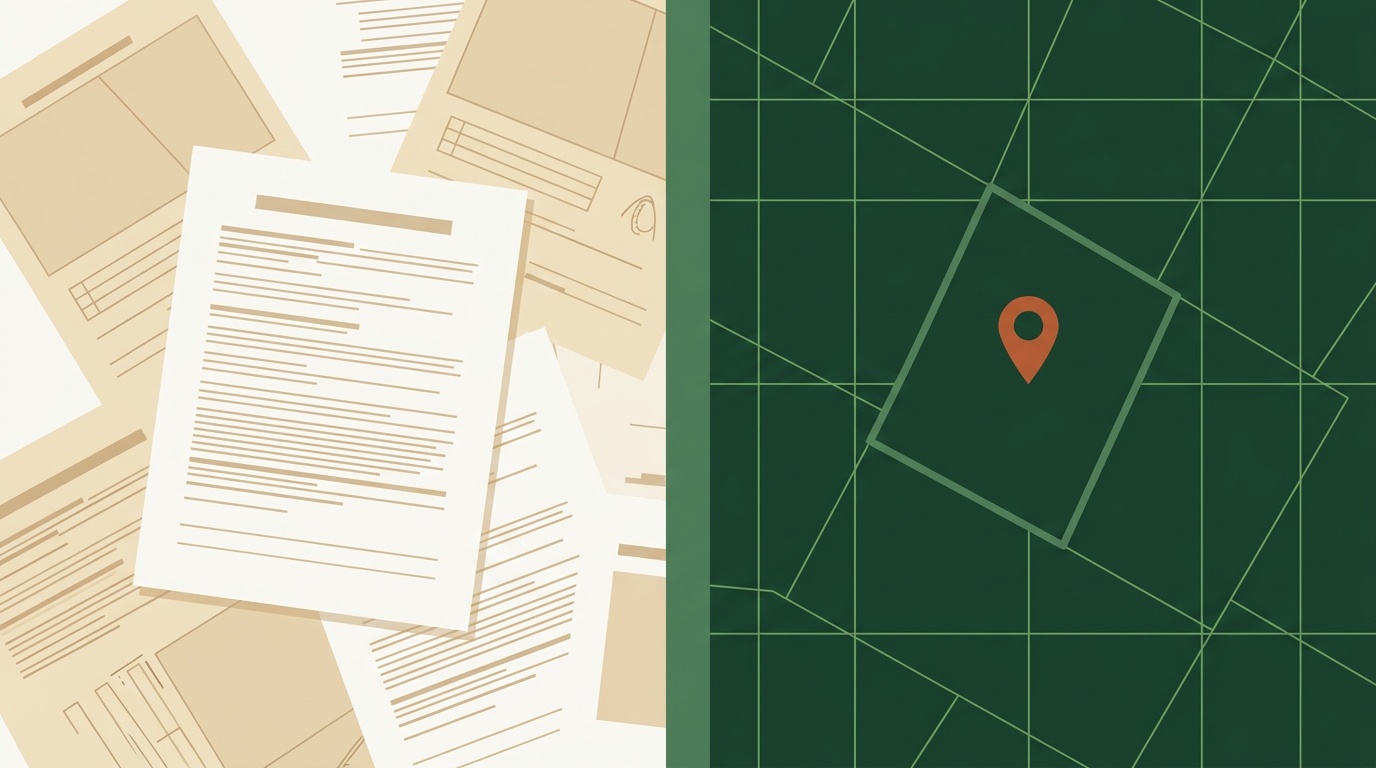
The most direct check is converting every surface lease legal land description to GPS coordinates and confirming those coordinates land inside the project area on a map.
Enter the LSD into Township Canada's Alberta legal land converter. The result shows the GPS centre point and the parcel boundary on a satellite map. Cross-reference that against the well licence location, the landowner's title, and your internal project map. If they all agree, the description is correct.

For applications involving multiple parcels - a right-of-way crossing a dozen sections, or a battery pad with four LSDs - run the full list through the batch conversion tool. Export the results as KML, load into Google Earth, and walk the route visually. Location errors stand out immediately against satellite imagery.
The LSD converter is also useful when a landowner is disputing which parcel is subject to the agreement. Converting both the operator's LSD and the parcel the landowner believes was negotiated gives you a visual comparison - the parcels either match or they don't, and you have a printable map to discuss.
Matching the SLA to the IAR
One check that gets skipped under deadline pressure: confirming that the legal land description in the executed Surface Lease Agreement exactly matches what's being entered in the IAR submission.
The SLA is the governing document. If the SLA says LSD 06-32-048-07W5 and the IAR submission says LSD 07-32-048-07W5, the regulatory record doesn't match the contract. Even if the AER accepts the filing, the operator holds a surface lease for land they didn't negotiate access to. That's a problem at surface rights court, at renewal, and at abandonment.
Print both documents side by side and verify the LSD, section, township, range, and meridian match character for character. Then convert both to GPS coordinates and confirm they return the same point. The conversion takes 30 seconds and removes any ambiguity about what "this parcel" means in the agreement.
For a broader view of how legal land descriptions flow through O&G regulatory workflows - from well licence application through surface access to abandonment - see the legal land descriptions for oil and gas guide.
Before the Deadline
A surface lease rejected at IAR review means rescheduling field work, reopening negotiations with the landowner, and explaining the delay to operations. None of that is necessary if the legal land descriptions were verified before submission.
Township Canada covers every DLS parcel in Alberta, Saskatchewan, and Manitoba. You can look up any surface lease legal land description, confirm the GPS coordinates, and see the parcel boundary against satellite imagery - individually or in bulk. If your team is managing a large application package, the batch conversion tool can process the entire location list at once and flag any descriptions that don't resolve to a valid parcel.
Three minutes of verification before filing beats three weeks of re-work after rejection.