By Township Canada
Introducing the Agriculture Bundle: Parcel Reports, LSRS, and AAFC Crop History
A single add-on for Canadian agriculture - unlimited parcel reports, full LSRS and AAFC overlays, and PDF export. Stacks on Pro or Business.
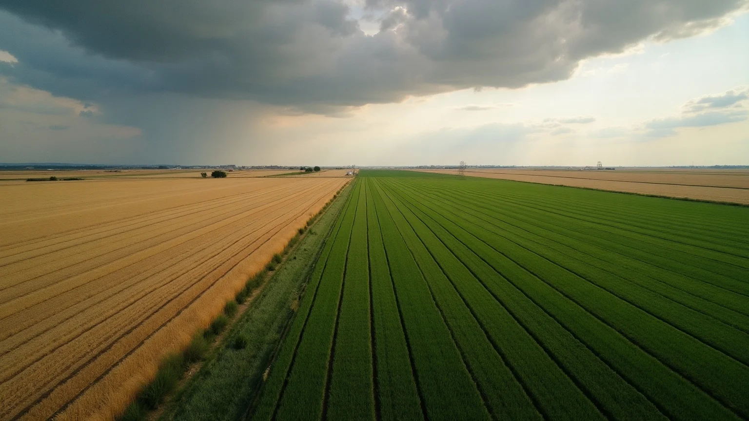
A central Alberta crop farmer sits down in late May to verify her AFSC seeded acreage report. Twelve insured quarter sections, three new leases this year, two she's still deciding on. She needs to confirm each description, see what's been grown on the new leases over the last five years, and check soil productivity before signing the final two.
Five years ago that took a day across AFSC documents, AAFC's published crop inventory rasters, the AGRASID viewer, and Google Maps. Township Canada's new Agriculture Bundle does it in fifteen minutes from a single workspace.
A single add-on
The Agriculture Bundle is one add-on that stacks on Pro or Business (see pricing). Subscribers get unlimited parcel reports with PDF export, the full LSRS productivity overlay on the map (Alberta v1), and the full AAFC crop history overlay (Alberta and Saskatchewan). Treaty / Indigenous consultation hazard flags appear on every parcel report, including the free tier.
One SKU for working farmers verifying SCIC and AFSC paperwork, crop insurance adjusters dealing with claim events at scale, farmland investors screening acquisition pipelines, and ag retailers and grain companies mapping customer parcels.
The features inside the bundle
One-click parcel report at /app/parcel/[lld]. For any DLS quarter section: legal description, GPS, area, LSRS productivity (a 0-100 score Township Canada derives from the AAFC LSRS class), 5-year crop rotation, dominant crop, Shannon diversity, treaty overlap. Server-rendered for indexability + Open Graph previews for sharing. Logged-in Pro and Business users get one free combined report; Agriculture Bundle subscribers get unlimited reports.
LSRS productivity overlay. Spring-cereal suitability score per Alberta quarter section, sourced from AGRASID 4.1. The AAFC Land Suitability Rating System publishes a class from 1 to 7; Township Canada translates that into a 0-100 score, colour-coded on a map ramp from class 1 (Excellent, 90-100) to class 7 (Unsuitable, 0-14). This layer is Alberta-only: national AAFC LSRS data does not exist for Saskatchewan, so SK coverage is on the roadmap.
AAFC Annual Crop Inventory. Five-year rolling window of dominant crop, rotation, and Shannon diversity per 1km cell. Alberta and Saskatchewan coverage. Same colour table AAFC publishes, so the visual matches what producers already see on the AAFC viewer.
Where the bundle model lands
One simple SKU instead of a multi-tier hierarchy. Logged-in Pro and Business users get one free combined report to try the full feature set. Agriculture Bundle subscribers get the full set - overlays, unlimited reports, exports. The pricing is one decision, not three.
Who this is for
- Working farmers verifying SCIC and AFSC paperwork, evaluating new leases, route-planning field scouting days. See Township Canada for Farmers.
- Farmland investors screening acquisition pipelines, reconciling titles, scanning soil productivity and crop history across portfolio additions. See Township Canada for Farmland Investors.
- Ag retailers and grain companies mapping customer parcels, routing field agronomists. See Township Canada for Ag Retailers.
- Crop insurance adjusters and AFSC/SCIC agents processing claim events at scale. See Township Canada for Insurance Adjusters.
How to subscribe
The Agriculture Bundle is an add-on that stacks on the standard Pro or Business plan (see pricing). Add it from /pricing or from the account screen at /app/account; remove it any time via the Stripe Customer Portal. The add-on bills alongside the base plan.
What's still roadmapped
- Land Portfolio Manager - owned/leased/prospect parcel tracking with lease renewal alerts. Specced; ships post-launch.
- Saskatchewan LSRS coverage - on the roadmap; no open LSRS dataset exists for SK yet.