By Township Canada
Rural Properties Don't Have Street Addresses. Here's How to Find Them on a Map.
Rural property legal land description Alberta guide. Convert a quarter section from a title to GPS coordinates and a map pin in under a minute.
A buyer from Edmonton calls about a quarter section near Innisfail. The listing says NW 27-039-04W5 - no street address, no postal code, no Google pin. The buyer wants to drive out Saturday and see the land. How do you tell them where to go?
This is the daily reality of rural real estate in Alberta and Saskatchewan. Every rural property legal land description in Alberta refers to a survey grid that predates roads, towns, and postal codes by over a century. If you sell, appraise, or buy rural land, you need to know how to turn that description into a location you can actually find on a map.
Why Rural Properties Don't Have Street Addresses
Western Canada was surveyed under the Dominion Land Survey (DLS) system starting in 1871 - decades before most prairie roads existed. Survey crews working out of Winnipeg divided the landscape into a precise grid of townships, sections, and quarter sections, staking iron monuments across millions of acres of open prairie. Settlers received their land grants by grid reference. Roads and municipal addresses came later, and only for properties with direct road access.
A quarter section of farmland two kilometres off the nearest range road has no civic address. The legal land description on the certificate of title is the only identifier that the land registry, the mortgage lender, and the MLS listing all agree on.
That grid is still the official land registration system today. Alberta Land Titles, Saskatchewan's ISC, and Manitoba's Land Titles Office all identify parcels by their DLS description - not by a street number. When a rural property changes hands, the Transfer of Land document references the legal land description exactly as it appears on the current title.
Reading a Legal Land Description on a Title
A rural property legal land description follows the pattern: Quarter – Section – Township – Range – Meridian. For a detailed breakdown of every component, see How to Read a Legal Land Description on a Rural Title.
Take NW 27-039-04W5 from that Innisfail listing:
- NW - Northwest quarter (160 acres, the upper-left portion of the section)
- 27 - Section 27 within the township
- 039 - Township 39 (roughly 39 rows of 6-mile blocks north of the US border)
- 04 - Range 4 (four columns west of the 5th Meridian)
- W5 - West of the 5th Meridian (the reference line running through central Alberta near Red Deer)
That places the property in the rolling foothills west of Red Deer - cattle ranching and mixed farming country, about 160 acres of land.
The meridian is the most consequential piece. W4 covers eastern Alberta along the Saskatchewan border. W5 covers central Alberta. W6 covers the far west near BC. Getting the meridian wrong shifts the location by hundreds of kilometres. A transposed range number - Range 04 instead of Range 40 - does the same.
For the full structure of how townships, ranges, and sections fit together, see the DLS system guide.
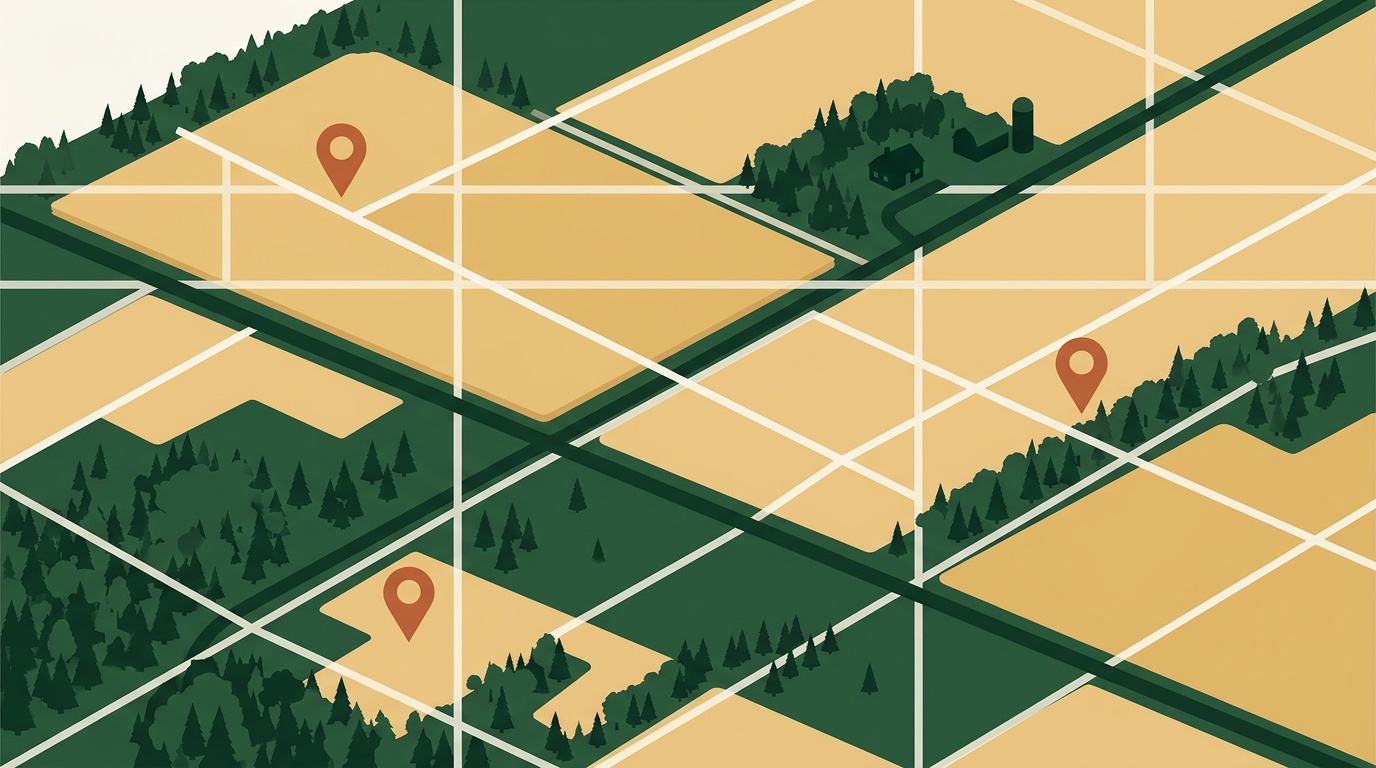
How to Convert a Legal Land Description to a Map Location
Step 1: Paste the Description
Go to Township Canada and type or paste the legal land description from the title or listing. The converter accepts multiple formats - NW 27-039-04W5, NW-27-39-4-W5, or Sec 27 Twp 39 Rge 4 W5M all work.
Step 2: Confirm the Location
The result shows GPS coordinates for the centre of the parcel, the survey grid overlaid on the map, and the parcel boundary. Switch to satellite view to check terrain, access roads, and what's actually on the ground - cropland, pasture, buildings, tree cover.

Step 3: Share the Pin with Your Buyer
Copy the GPS coordinates or share the map link directly. Your buyer can load it into any navigation app and get turn-by-turn directions to the property. If they're driving from Calgary, they'll know the exact turnoff from the highway onto the range road.
Title description to map pin, under a minute.
Quarter Section vs. LSD in Acreage Listings
Most rural listings in Alberta reference quarter sections - 160-acre parcels identified by NE, NW, SE, or SW. A standard half-section grain farm shows up as two quarter sections on the title: NE 22-040-27W4 and SE 22-040-27W4, for example. That's 320 acres near Sylvan Lake.
But smaller acreages - a 10-acre farmstead, a rural residential lot - sometimes reference a Legal Subdivision (LSD). An LSD is 40 acres, and four of them make up one quarter section. If the listing description starts with a two-digit number like 06-32-048-07W5 instead of a quarter designation (NE, NW, SE, SW), you're looking at an LSD.
The distinction directly affects listing price. A quarter section is four times the land area of an LSD. Mixing them up in a comparable sale analysis means comparing 160-acre parcels to 40-acre parcels. That error compounds when you're calculating per-acre values in a market where Alberta farmland is appreciating quickly.
Use the quarter section finder for quarter-level lookups, or the LSD finder for 40-acre precision.
Explaining the DLS System to Urban Buyers
Most buyers from Calgary or Edmonton have never encountered a legal land description before. Here's the analogy that works:
Think of the DLS grid like a city block system, scaled up to prairie scale. In Calgary, you navigate by street and avenue numbers - "the building at 4th Street and 17th Avenue." On the prairies, you navigate by range and township numbers - "the quarter at Range 4, Township 39." The quarter designation (NW, NE, SW, SE) is like specifying which corner of the intersection you mean.
The meridian tells you which grid you're on - like specifying "downtown" versus "the west end." W4 is eastern Alberta. W5 is central Alberta. W6 is the western edge near the mountains.
Once buyers see two or three descriptions plotted on a map, the system clicks. Share the Township Canada converter link and let them type in the description from any listing they're evaluating. It's faster than explaining the notation in an email.

Spring 2026: Why Getting the Legal Description Right Matters Now
Alberta and Saskatchewan farmland values have risen sharply year-over-year. In a market where quarter sections are selling at record prices, every transaction depends on the rural property legal land description in Alberta being correct - from the initial listing through to the registered title transfer.
A wrong township number on a comparable sale doesn't just produce a bad map pin. It produces a bad valuation. And in a competitive spring market with multiple offers, a delayed closing because of a description error costs everyone time and money.
Agents and appraisers who can verify a legal description against a map in under a minute work faster and make fewer errors. For a single property, the Township Canada converter handles it instantly. For a portfolio of rural listings or a comparable sales database, the batch converter on a Business plan processes hundreds of descriptions at once.
For a deeper walkthrough of real estate workflows - listing preparation, title verification, multi-parcel showings - see the real estate how-to guide.