Oil & Gas by Municipality
Counties and municipal districts across Western Canada, ranked by well count.
Showing 6 of 6
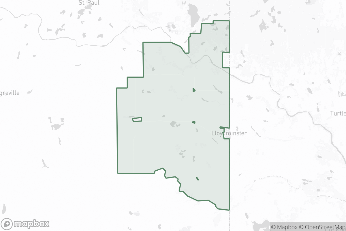
Vermilion River County
AB · municipal boundary
- Total wells
- 5,400
- Orphan wells
- 41
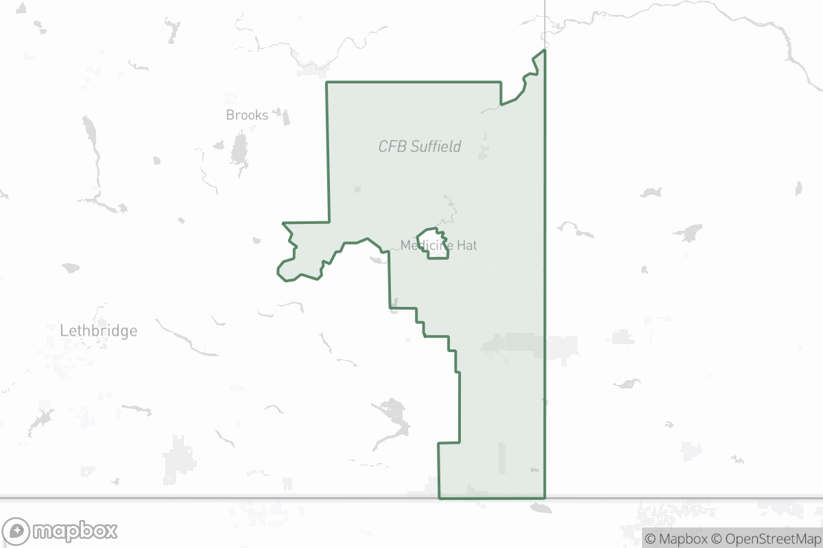
Cypress County
AB · municipal boundary
- Total wells
- 4,100
- Orphan wells
- 33
RM of Estevan
SK · municipal boundary
- Total wells
- 3,800
- Orphan wells
- 19
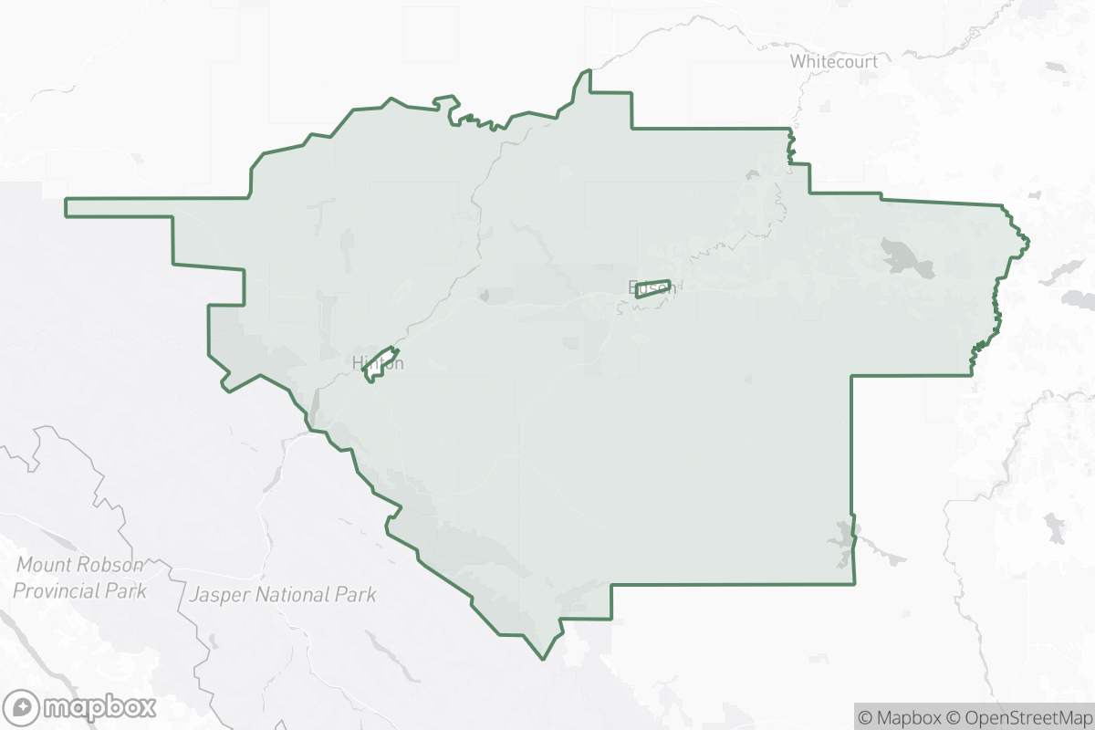
Yellowhead County
AB · municipal boundary
- Total wells
- 3,100
- Orphan wells
- 24
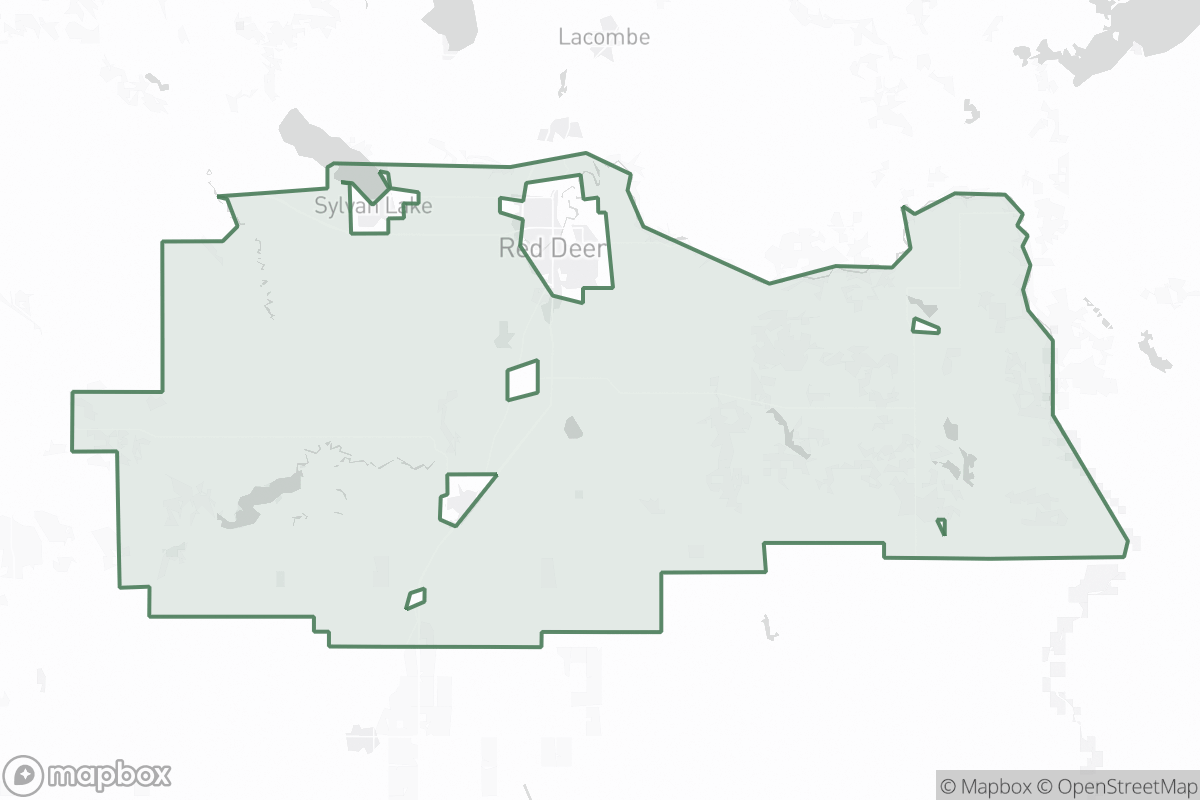
Red Deer County
AB · municipal boundary
- Total wells
- 2,600
- Orphan wells
- 12
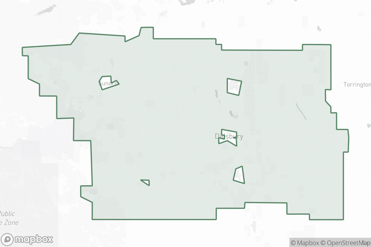
Mountain View County
AB · municipal boundary
- Total wells
- 900
- Orphan wells
- 4