By Township Canada
Ag API and Energy API: Where to Find Them and What They Return
Township Canada's agriculture and oil-and-gas industry pages now describe the live Ag API and Energy API with pricing, coverage, and developer portal links, replacing the old 'coming soon' notices.
Six months ago, a developer building a crop insurance tool visited the Township Canada agriculture page. The FAQ had a question about API access. The answer said the API was not yet available and on the roadmap. The developer bookmarked the page and moved on to assembling AAFC crop data and AGRASID soil records by hand.
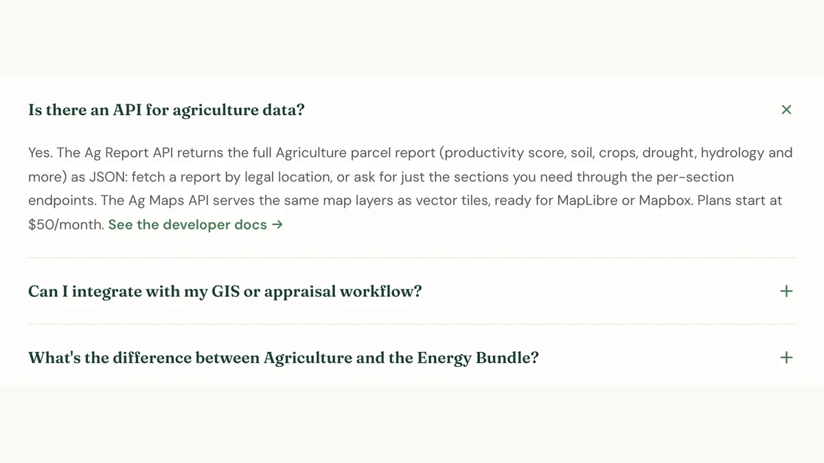
That FAQ answer has changed. The agriculture page now describes the Ag API: what it returns, which provinces it covers, where to find the developer documentation, and how the three pricing tiers work. The oil-and-gas page does the same for the Energy API. And the pricing page now presents the full API product line, covering geocoding, parcel reports as JSON, and vector tiles, rather than the single "coordinate conversion" pitch it showed before.
This post covers what each API returns, where the data comes from, what the tiers cost, and how to make your first call.
What the Ag API returns
One GET request to the Ag API returns the agriculture parcel report for any quarter section in Alberta, Saskatchewan, or Manitoba. The response is a JSON object. The five core areas below are supplemented by wetlands, hydrology, parcel context, and provincial detail.
Productivity. In Alberta, this includes the LSRS productivity score (a 0 to 100 rating for dryland spring-cereal cropland, derived from AGRASID 4.1) and the corresponding LSRS class (1 to 7), along with the single factor that caps the rating: climate, moisture, soil, water, or continuous cropping. The 0 to 100 score is Township Canada's own translation of the official LSRS class to a numeric scale, not an official AAFC number. Saskatchewan and Manitoba do not have an open productivity rating. Supported provinces return the Canada Land Inventory (CLI) capability class and its limiting factor.
Crop rotation. Up to five years of satellite-derived crop classification from the AAFC Annual Crop Inventory. The response includes the dominant crop per year, the crop category, and the rotation pattern (such as "Wheat-Canola-Peas"). The source dataset is national; API access follows the supported provinces.
Soil. Soil order, great group, subgroup, drainage class, and slope class. In Alberta this comes from AGRASID; in Saskatchewan, from the provincial soil survey. Manitoba is covered by the national Soil Landscapes of Canada dataset.
Land use. The dominant AAFC land-use class, its IPCC classification, and a percentage breakdown of all land-use types on the parcel.
Drought. The current Canadian Drought Monitor assessment class (D0 through D4) and the date it was last assessed.
For the crop insurance developer who bookmarked that FAQ, the practical value is that one endpoint now replaces four or five separate lookups. A policyholder submits a quarter section. The application calls the Ag API once and gets back the productivity rating, crop history, soil drainage, and drought conditions needed to evaluate the parcel. When the policyholder submits 200 quarter sections in a batch renewal, the same endpoint handles each one.
What the Energy API returns
One GET request to the Energy API returns the energy parcel report for an LSD in Alberta, Saskatchewan, or Manitoba. Both report APIs currently return 400 bc_not_supported for BC; the web app has separate BC coverage.
Wells. Individual well records with UWI, operator, product type, status (active, suspended, abandoned, orphan, reclamation certified), licence date, and total depth. Sources include the AER in Alberta, the Ministry of Energy and Resources in Saskatchewan, and Manitoba's provincial registry. Coverage: Alberta, Saskatchewan, and Manitoba.
Production. Trailing 12-month volumes for oil (m3), gas (e3m3), condensate, and water, with producing well count and dominant product type. Sourced from Petrinex, refreshed monthly. Coverage: Alberta and Saskatchewan.
Pipelines. Pipeline segments crossing the LSD, with substance, status, licence number, maximum operating pressure, H2S content, and segment length on the parcel. Coverage: Alberta and Saskatchewan.
Facilities. Registered facilities on the LSD (batteries, compressors, gas plants, injection sites, meter stations) with category, status, and operator.
Tenure. Crown petroleum and natural gas (PNG) dispositions and Crown mineral dispositions intersecting the parcel, with disposition number, holder, type, status, and expiry date. Coverage: Alberta, Saskatchewan, and Manitoba.
Alternative energy. CCS (carbon capture and storage) pore-space tenure and geothermal tenure, if any intersect the LSD. Alberta only.
For a field operations team screening a disposition area, this means every active well, every expiring tenure, and every pipeline crossing comes back in one response per LSD. For an environmental screening tool, abandoned and orphan well counts and facility inventories are available without opening a government portal.
How the APIs relate to the web bundles
The Ag API and Energy API are developer products, separate from the Agriculture Bundle and Energy Bundle on the Township Canada web app. The web bundles ($100 CAD per month each, added to a Pro or Business plan) provide interactive map layers, parcel report tabs, and PDF export inside the app. The APIs return the same underlying data as structured JSON over REST, authenticated with an API key, for applications you build yourself.
A developer does not need a web plan to use the APIs. A web bundle subscriber does not automatically get API access. They are independent products with independent pricing. The industries overview page previously described API access in a way that could suggest it was part of the web plan bundle. That wording has been corrected, and the page now links to the dedicated API pricing.
Pricing tiers
Both APIs use the same three-tier structure:
| Tier | Price | Requests per month | Rate limit |
|---|---|---|---|
| Build | $50 CAD/mo | 500 | 1 req/sec |
| Scale | $250 CAD/mo | 5,000 | 2 req/sec |
| Enterprise | $1,250 CAD/mo | 50,000 | 5 req/sec |
Each API is a separate subscription. If your application needs both agricultural and energy data, subscribe to both.
Build fits prototyping and small internal tools. Five hundred requests per month gives a team enough room to iterate on a proof-of-concept farmland scoring dashboard or a well-screening tool for a single play area. Scale fits production applications with moderate volume: a crop insurance company pulling agriculture reports for several thousand quarter sections per renewal cycle, or a land acquisition team screening LSDs across a play area. Enterprise fits high-volume integrations where an ag-tech or energy data platform serves many downstream clients.
Getting started
- Visit the developer portal and create an API key if you do not have one.
- Subscribe to the Ag API, the Energy API, or both.
- Make a test call with a supported quarter section (Ag API) or LSD (Energy API) in Alberta, Saskatchewan, or Manitoba.
The developer portal has the full OpenAPI specification, response schemas, and code examples in JavaScript, Python, and curl. For a detailed walkthrough of the response structure and guidance on combining these APIs with the Search and Batch APIs, see the full Ag API and Energy API guide.
If you bookmarked that agriculture FAQ six months ago, the answer has changed.